Exploring GIS: The Power of Mapping and Spatial Relationships

Geographic information systems (GIS) combines map and data to help users understand location patterns and spatial relationships. Whether the data is used for surveying, engineering, or planning, GIS provides the framework for integrating information and visualizing how different elements interact across a landscape. Kari Goold, a Survey Technician and GIS analyst on Parkhill’s Survey Team, shared her knowledge about GIS and the importance of spatial relationships in the work of surveyors, engineers, and planners.
Understanding Spatial Relationships
A key concept in GIS is the understanding of spatial relationships and how things connect and interact based on their location. This is essential for analyzing everything from property boundaries to transportation networks.
Kari explains that it really depends on the proximity of features, how they influence each other, and how their positions create patterns. She references Waldo Tobler’s first law of geography: “Everything is related to everything else, but near things are more related than distant things.”
This principle is at the heart of spatial relationships and guides how GIS professionals interpret and use geographic data.
Recent Impact
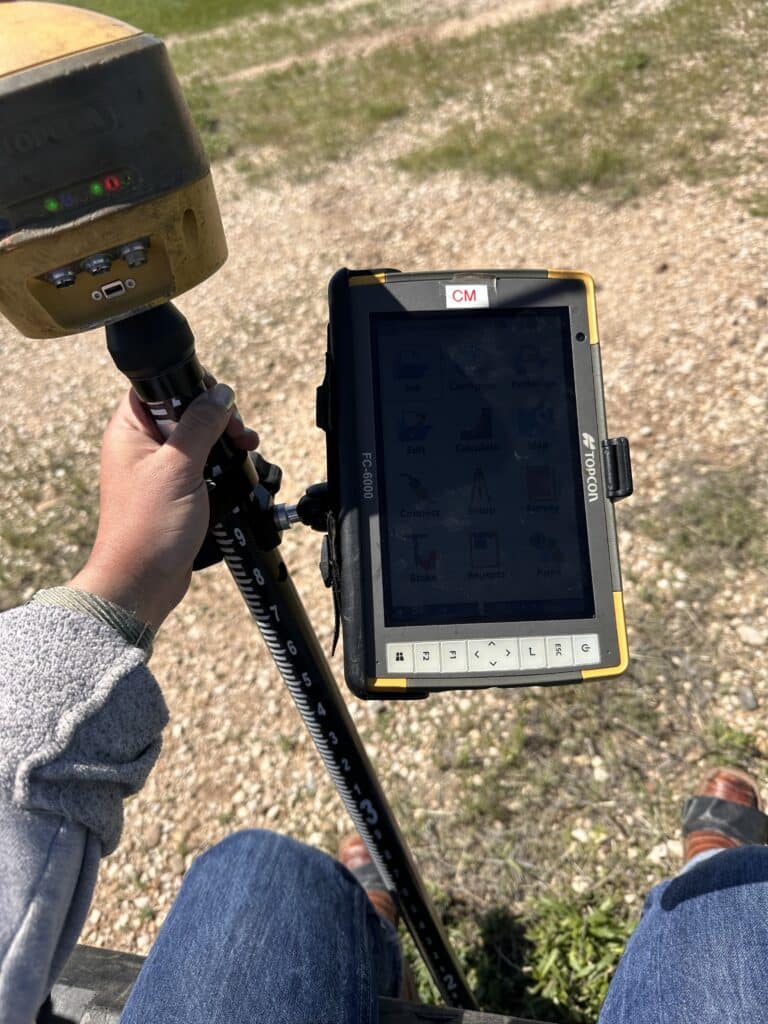
A recent example is the sanitary sewer evaluation work in Lexington and Wynnewood, two small towns near Oklahoma City, OK. Manholes were located with survey equipment, then Esri apps were used to photograph structures, track inverts, map conditions, and generate reports. The data could be transmitted straight from the field to the office, improving efficiency and helping teams make quicker decisions.
“I have been a part of it from the start and have really enjoyed the process of getting to be outside locating and opening manholes and then coming to the office and seeing/reviewing the data,” Kari said. “Most people don’t enjoy sanitary sewer projects, but I enjoy the scavenger hunt and seeing how these small towns’ systems work. Plus, I know the data collected for this project is going to help engineers and city planners make decisions.”
Empowering Better Decisions
GIS technology enables Parkhill’s teams to deliver data-driven solutions for clients and communities. By visualizing and analyzing spatial relationships, professionals can identify patterns, solve problems, and optimize project outcomes.