Parkhill’s Survey Team is Mapping the Path to Project Success
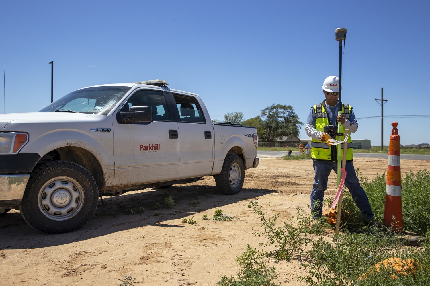
At Parkhill, building stronger communities starts with a solid foundation — and that foundation often begins with the work of our Survey Team. From new schools and parks to roads, water systems, and commercial developments, our surveyors provide critical data that informs and guides successful projects.
Led by Kelly Henderson, PLS, Partner and Sector Director with more than 41 years of experience in land surveying and civil engineering, the team brings a wealth of technical skills and local knowledge. From the first site visit to the final project documentation, Kelly and his team manage every aspect of the survey process.
Parkhill’s Survey Sector offers a full range of services, including:
- Bathymetric Surveys
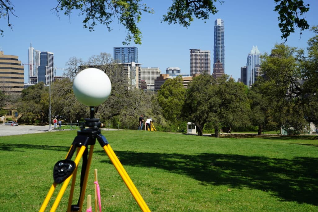
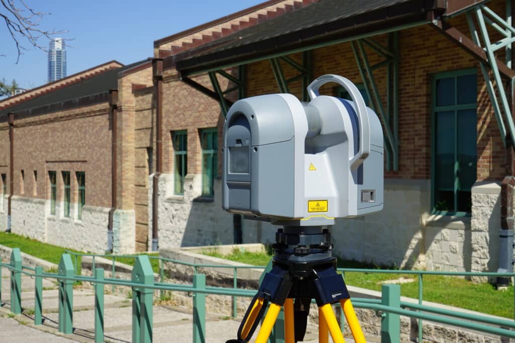
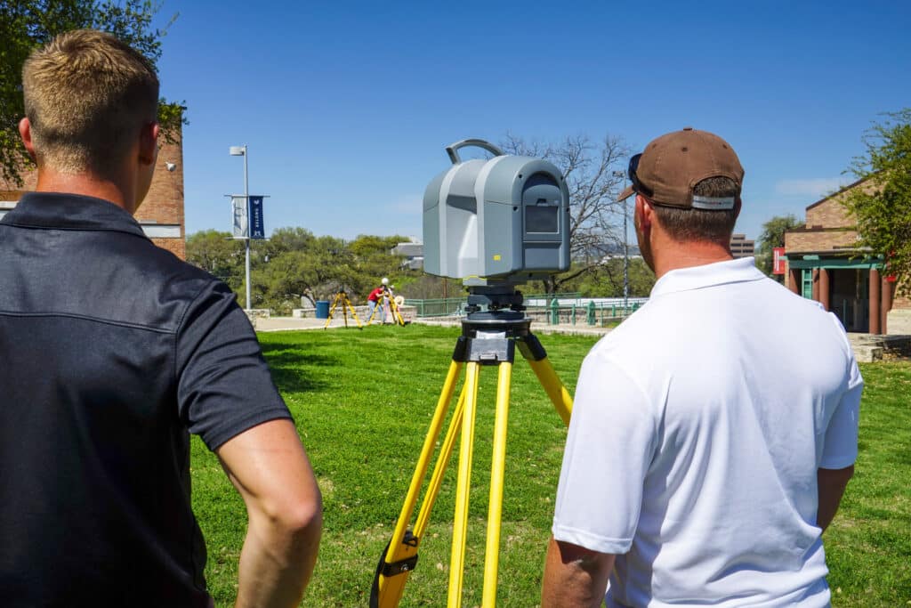
- Aerial + Terrestrial LiDAR
- UAV Photography
- Right-of-Way and Easement Acquisitions
- Interior Building Scans
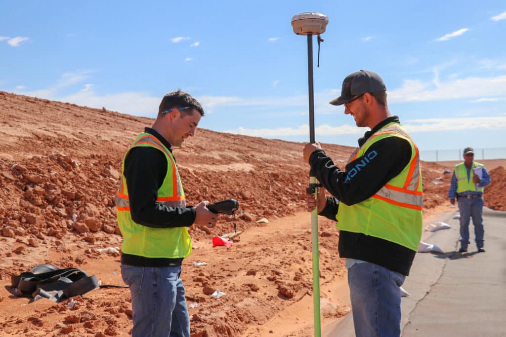
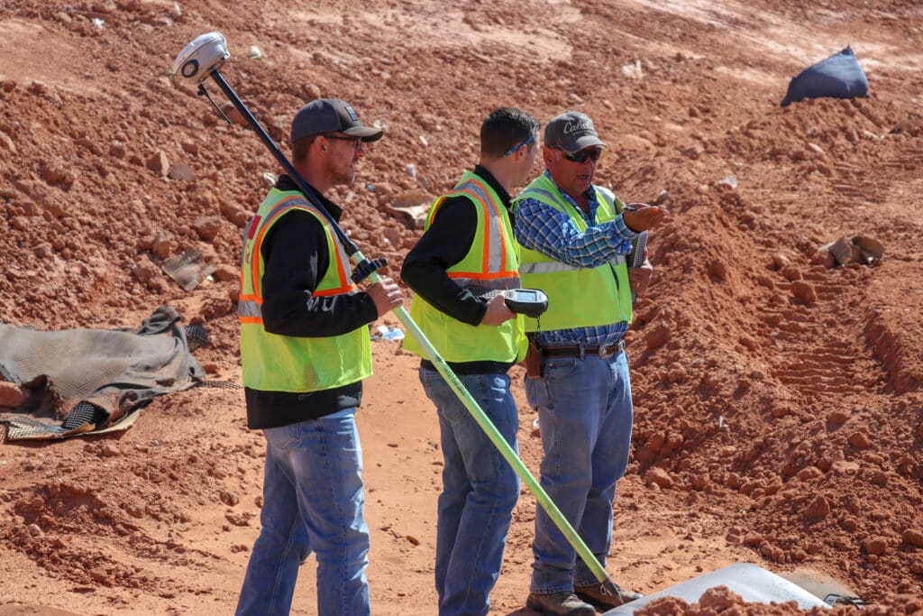
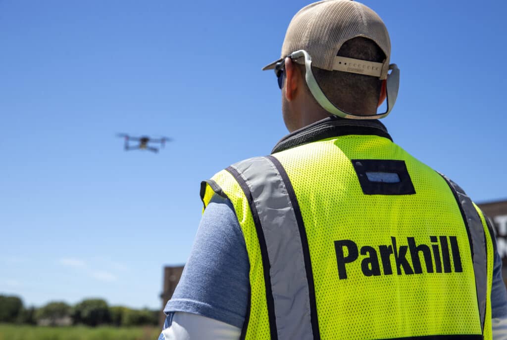
By using the latest technology — including aerial photogrammetry, drones, and advanced instrumentation — the team delivers precise, dependable data that lays the groundwork for success.
But survey work is more than just measurements. “Everything they collect is like a roadmap for our design,” said Ben Sanchez, PE, Team Leader for Site Development and Planning in Frisco.
Every point captured and every detail mapped supports smarter decisions, better design, and more efficient construction. With accuracy, reliability, and a collaborative spirit, Parkhill’s Survey Team helps transform plans into real-world progress — enhancing everyday life for the people and places we serve.
Delivering Precision From Day One
Surveying is often the first step in a project, but its impact reaches far beyond initial data collection. Parkhill’s Survey Team plays a critical role in supporting internal teams across architecture, engineering, planning, and construction by delivering timely, reliable survey data that keeps projects moving forward.
Working in-house allows our surveyors to collaborate closely with architects and engineers from the very beginning. Whether it’s a topographic survey for a new school site or right-of-way assistance for a civic facility, our team ensures all disciplines have access to current, accurate information. This integration enhances coordination, reduces delays, and improves design outcomes.
“Our survey team can mobilize quickly, and the subcontracting process is much smoother,” said Landon Allen, a civil engineer in Parkhill’s Water Resources Sector. “With outside firms, it can take longer to get started or they can’t meet certain insurance requirements. With our team, I’m already in communication with them internally, which means boots on the ground faster and the design phase moving sooner.”
Sara Senyondo, a civil engineer in the Water Resources Sector in Oklahoma City, agreed. “The services of the survey team are usually required at the front end of the project,” she said. “The team consistently meets or exceeds expectations on schedule, which enables us to get off to a great start.”
Because Parkhill surveyors are part of the same organization, they’re fully invested in every project’s success. If conditions change or new data is needed, they can quickly mobilize.
Ben shared one example from a project in Round Rock, Texas.
“We had another surveyor lined up, but due to contractual issues, that fell through,” he said. “I called Kelly, explained we needed data quickly, and within a week they had boots on the ground, fast-tracking the work. They stepped up when we were in a bind.”
What Parkhill’s Survey Team Brings to Clients
When clients choose Parkhill, they’re not just hiring designers and engineers — they’re gaining access to a highly skilled, in-house Survey Team that brings exceptional value from day one.
By tailoring every survey to the specific needs of the project, Parkhill ensures that clients receive the most relevant, cost-effective data. This avoids unnecessary costs and supports efficient use of capital improvement funds. Whether it’s a school district planning a new campus or a city expanding infrastructure, the survey work is focused, intentional, and impactful.
Clients benefit from the team’s local knowledge and decades of experience across public and private sectors. Familiarity with the region, its regulations, and its terrain means fewer surprises, fewer delays, and better communication from planning through construction.
Technology plays a key role here as well. Using advanced instrumentation, GPS tools, drones, and aerial mapping, the team captures high-quality data quickly — accelerating timelines, improving decision-making, and increasing confidence at every stage.
“On gravity wastewater lines, topography drives the design,” Landon said. “Our drone aerial imagery is another big asset. It’s up-to-date, high-quality and huge for easement acquisition, permitting, and avoiding surprises like new roads or buildings that don’t show up on older maps.”
Sara added that even outside of design, the survey team’s data is crucial. “Knowing the location of existing utilities, easements and other infrastructure is critical for placement and routing of new utilities,” she said.
For Ben, the value comes down to responsiveness and care. “They’re responsive, capable, and care about getting the information right and on time,” he said. “They know their work, they communicate well, and they consistently deliver what we need.”
Perhaps most importantly, Parkhill’s surveyors are true partners. They collaborate closely with clients, project managers, and design teams to ensure alignment and clarity throughout the process. Their work supports every decision, reduces risk, and ultimately leads to better project outcomes.
With Parkhill, clients can count on a survey process that’s not just technical — but strategic. The result? Smarter projects, stronger partnerships, and long-term value for the communities we serve.