South Central Lubbock Drainage Improvement
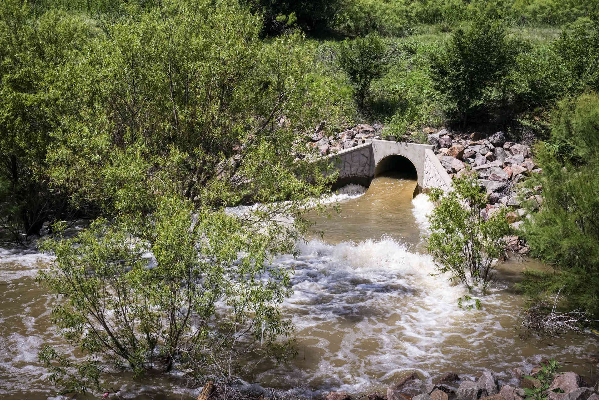
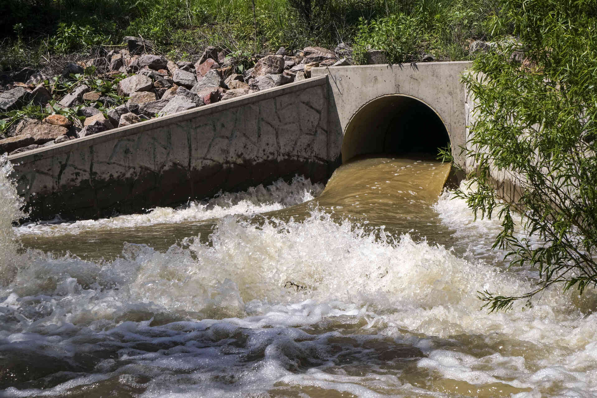
Lubbock, Texas, has faced increasing stormwater drainage issues due to urban growth and a rising water table. Natural lake drainage through seepage and evaporation has been inadequate, leading to frequent flooding near lake boundaries and overflow areas. This situation significantly impacts residential and commercial zones, highlighting the need for man-made solutions.
Parkhill Proposes Subsurface Pipeline System
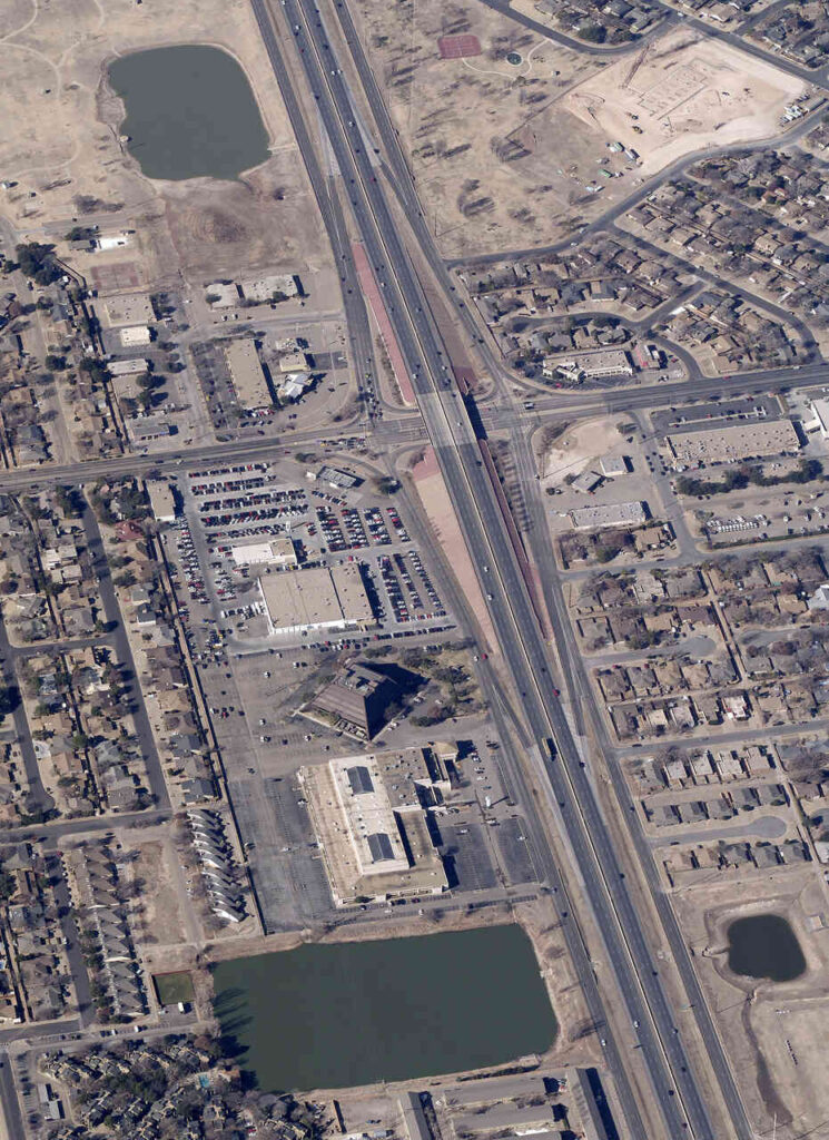
Lubbock’s landscape is dotted with shallow depressions called playa lakes. These natural basins help manage normal rainfall but can trigger overflow during large storms—spilling from one lake to another and into dry stream beds that flood into the river system.
A Complex Challenge
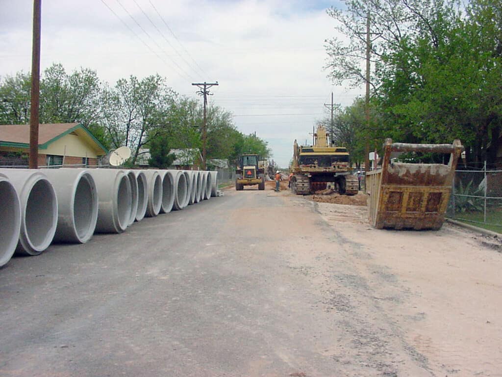
Storm sewer construction in Lubbock presents unique challenges due to the deep cuts required through canyon rims, tunneling under railroads, and the flat terrain that demands larger pipes. Standing water in some neighborhoods once lingered for up to 120 days after major storms.
Engineering a Smarter Drainage System
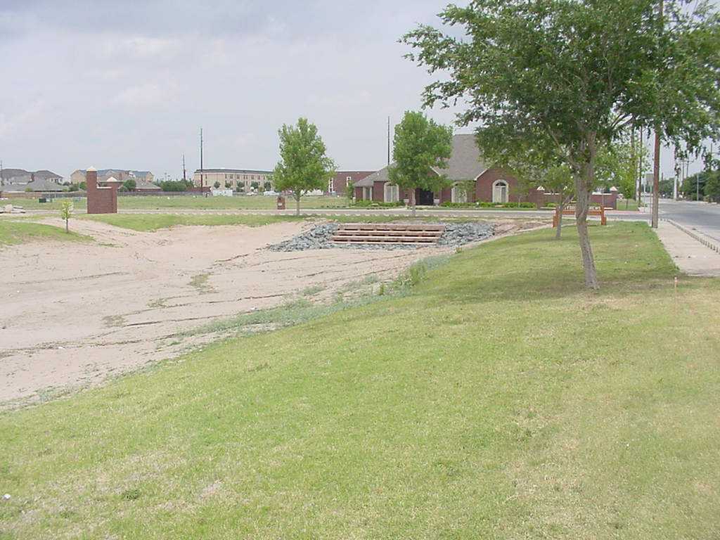
The City of Lubbock partnered with Parkhill to design a stormwater relief system for 12 playa lakes. Using detailed field surveys, aerial topography, and sophisticated hydrologic models (HEC-1, TR-20, adICPR), the team created a system to lower water levels within 10 days after a storm.
Innovation in Action
A cast-in-place “boat” machine built concrete pipes efficiently and economically. A stormwater sampling vault allows the City to meet EPA testing requirements—combining durability with environmental responsibility.

Marsha Reed, PE


