The Parkhill Survey Team works diligently to make sure each survey project is accurate and reliable, ensuring the collected data informs, clarifies, and helps clients and project teams make the best decisions.
Private, Commercial, and Public Sector Survey Experience
Parkhill has assisted municipalities, counties, and private developers with their individual surveying needs. We have worked in Texas counties statewide, preparing TxDOT right-of-way, ALTA/ACSM, and topographic and boundary surveys.
Boundary Surveys and Legal Descriptions
The primary purpose of a boundary survey is to relocate deed, easement, right-of-way, and other boundary lines on the ground. Initially, research must be conducted to uncover legal descriptions, field notes, and survey records that affect the subject tract. Following this phase, field reconnaissance is conducted to uncover physical monuments set by previous surveyors. Lines can be marked and flagged on-site and a plat can be prepared and delivered to the client once this data is analyzed and interpreted. Our survey team is committed to protecting the public’s property rights by helping determine where tracts are on the ground. In the event that our clients require a new or updated legal description, we can prepare accurate and retraceable legal descriptions that will assist with future land transactions.
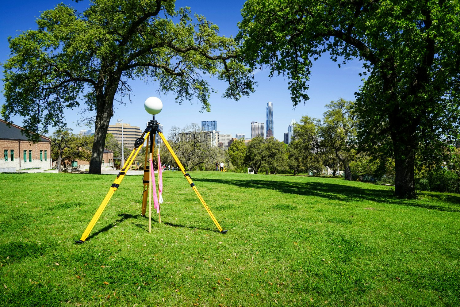
Topographic Surveys
An accurate map of the existing site conditions is usually required during the planning and design phase of a project or development. A topographic survey will show existing ground contours, man-made structures, building footprints, paving, curb and gutter, manholes, valves, utility poles, and other above-ground utilities as well as reported locations of underground utilities. All this information assists engineers, architects, and developers with their project design. Parkhill works with our clients to tailor each survey to their specific needs and focus on the information they need most. Topographic surveys facilitate site analysis and help avoid unforeseen problems that can delay construction.
Platting and Subdivisions
Parkhill has many years of experience coordinating with local municipalities to prepare platted subdivisions for residential, commercial, and industrial development. The Survey Team assists by performing an initial boundary survey of the property to be platted, laying out streets, alleys, lots, and easements, and preparing plats or maps of those subdivisions to be recorded in the public records. Each city has its own standards and platting requirements, and the Parkhill Survey Team stays up to date with those specifications and works to avoid delays with the platting process.
Construction Staking and As-Built Surveys
The Parkhill Survey Team helps contractors visualize the project on the ground with its construction staking services. The staking and layout process help to ensure that a project complies with plan specifications and is completed in a timely manner. Our team is ready to assist with paving, grading, utilities, and building layouts. After construction is completed, we can work with our clients to prepare a set of as-built measurements on any element of construction. These as-built drawings can be used as a quality control check and to verify accuracy.

