Survey Team – Get to Know Sam Wyatt
Category: Surveying
Written By: Valerie Edgren
Date: June 30, 2021
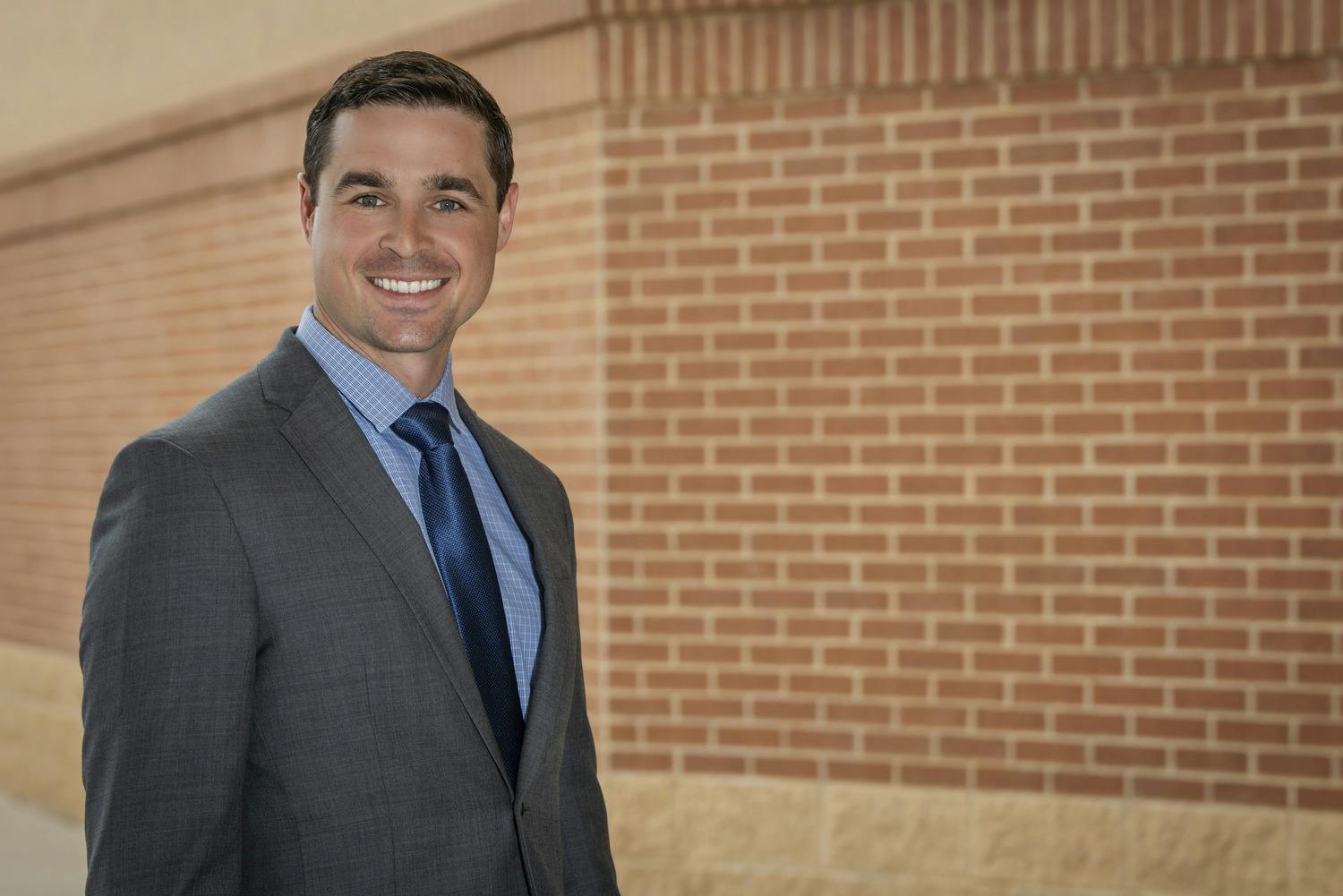
Sam Wyatt, RPLS, is a Principal and the Survey Team Leader in the Construction Services/Survey Practice. Wyatt has led surveying and mapping efforts for a broad spectrum of design projects in over 50 counties in Texas. His projects include numerous control network surveys, right-of-way maps, easement descriptions, topographic surveys, American Land Title Association reports, and municipal plats. He brings innovative approaches to his surveys, utilizing the latest in surveying technology. Whether it is a global navigation satellite system (GNSS), robotic total stations, drones, or terrestrial scanning, he and his team always seek the best tool for each project.
Q: Which of the following Parkhill values stands out most for you: real innovation, personal ownership, engaging collaboration, deepening credibility, life balance, contagious passion, enduring relationships, inspired contribution, unassuming influence, informed insight, or humble leadership?
The value that has always stood out to me is personal ownership. This concept was driven home to me early in my career as a survey technician. I made several mistakes one day taking measurements for a project. At the end of the day, we had to redo a portion of the survey because of my errors. My party chief questioned me about this, and I replied, “We messed up.” “We?” he asked, “or you?” I instantly realized that he wasn’t picking on me or shaming me but helping me realize that to succeed, I need to be personally responsible for the team’s success and my company’s success. At Parkhill, all positive change, leadership, and growth begin with personal ownership. Great things happen when, instead of asking, “when will someone do something about this?” we ask ourselves, “what can I do to help?”
Q: What project has given you a passion for your expertise?
While I’ve had the privilege of working with our civil and architectural teams on a number of high-profile design projects, I get the most excited when I talk about an 18-mile water pipeline project in Winkler and Loving Counties. This project required topographic surveying, easement acquisition, and construction staking for a private oilfield water delivery service. I love retracing original boundary lines and survey monuments. This project allowed me to retrace original section lines and legal descriptions from the 1880s, 1920s, and 1930s. When modern technology, history, and fieldwork intersect, I’m in my element. We provided a valuable service to our client, followed the footsteps of the original surveyors, watched some beautiful sunsets, and even dodged a rattlesnake or two.
Q: What innovations have you helped with or have you seen at Parkhill?
Surveying technology has constantly been advancing and improving, and now is an exciting time to be a part of the surveying profession here at Parkhill. Since 2015, we have been actively investing in state-of-the-art equipment and software, including GPS, robotic total stations, terrestrial LiDAR scanners, drones, and GIS mapping systems. As we test and utilize this technology with our existing projects, we find new value for our clients and can set ourselves apart in the industry. Parkhill’s investment in this technology has been recognized at the state and national levels. I’m proud to have been a part of the ACEC award-winning Texas School for the Deaf 3-D Survey project in 2016.
Q: What do you think is the next challenge in your field?
The next challenge surveyors face is public awareness. When most people think of a surveyor (if they know what that is), they think of a guy in the middle of an empty field, looking through a telescope. The engineering and architectural professions have done an excellent job communicating what service they provide, how they utilize their skills, and what differences they make in the world. Because of that, there is no shortage of high school graduates looking to pursue education and careers in these fields. Surveyors have a long way to go in this endeavor. Couple this with an aging and retiring population of surveyors, and you see a shortage of qualified land surveyors. It’s a great time to join the profession, and there is no shortage of survey work on the horizon.
Q: Looking forward, where do you see your industry going in the next 20 years?
I believe that what surveyors do will not radically change in the next 20 years. We will always be experts in mapping, geomatics, and communication. I believe that as technology continues to evolve, our ability to accurately and precisely measure will become faster, better, and cheaper. This will change not only how we create our maps and surveys but what we measure and communicate. I believe that just as civil engineers specialize in a particular type of design, surveyors will become specialists in things like GIS, legal boundary surveying, construction layout, aerial mapping, or utility surveys. I think this trend that we’re already seeing will not only benefit the profession but the public that we serve.
Click here to read more about the Winkler pipeline project