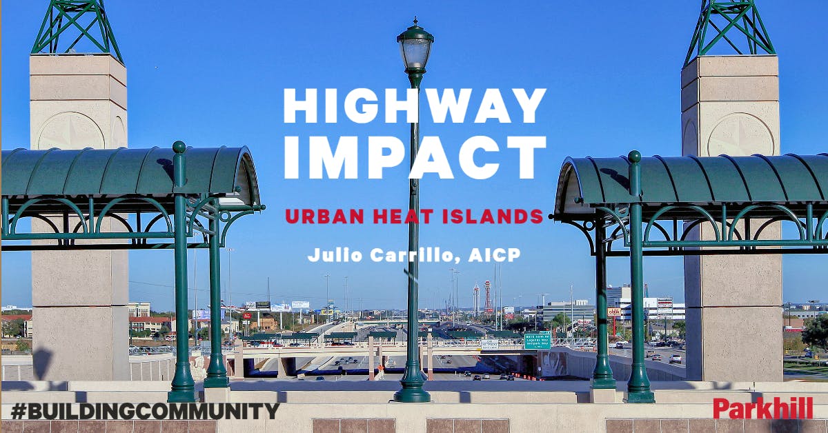
Highway Impact: Urban Heat Islands
Category: No Category
Written By: Julio Carrillo, AICP
Date: January 17, 2022
 Julio Carrillo, AICP, LEED AP, is a Senior Planner & Manager with Parkhill’s Planning & Interiors Practice. With over 15 years of experience, he has managed and directed projects ranging from architecture and green building consulting to urban design and community planning. Through his diverse knowledge of residential, multifamily, corporate office, educational, institutional, municipal, and neighborhood design, Julio, helps to plan and build sustainable communities.
Buildings and urban density have been historically blamed for Urban Heat Island (UHI) contribution. This article dissents that common knowledge, deducting that the main drivers of urban heat islands (among other community health indicators) are strongly correlated to highway-dominant environments.
This article looks at four cities in Texas: Austin, Dallas, Lubbock, and El Paso; exploring a better understanding of its urban morphology, which elevated the understanding of the level of influence of Buildings, Urban Design, and Morphology have into urban heat island contribution.
This analysis looks at building compactness (not a measure of density), highway corridors, diversity in land use, and urban temperatures.
The findings from this study can be used to identify typical city development patterns in US cities, to guide future development in terms of policy, planning, and design; for further alignment with sustainability and livability objectives. This analysis looked at two different indicators of urban morphology: building compactness and land use diversity; while looking at two different indicators associated with materials and surface temperatures: UHI index and Albedo index. All these indicators were obtained and compared at a human scale, based on the concepts of a 5-minute walk distance, and the 15-minute city.